Maroeuil is a village in the Department of the Pas-de-Calais, 6 kilometres north-west of Arras, between the roads to Houdain and Aubigny. The British Cemetery lies at the end of a track running north from the road to Bray and Ecoivres (C.1).
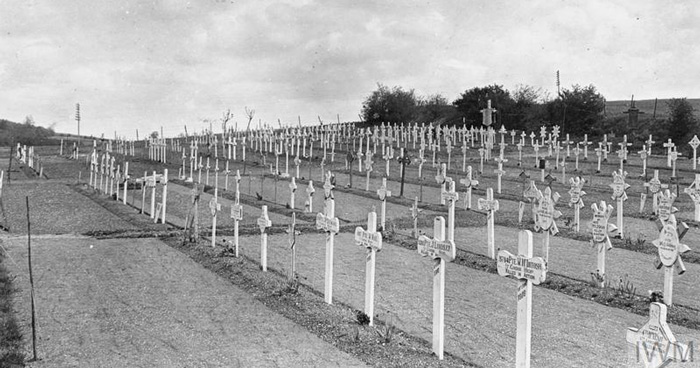
The cemetery was begun by the 51st (Highland) Division when Commonwealth forces took over the Arras front in March 1916 and it retained its association with that division until the summer of 1918.
Almost half of the graves are those of Highland territorials and many of those remaining are of London territorials who were at Maroeuil from July to December 1916.
The cemetery also contains the graves of 25 officers and men of tunnelling companies of the Royal Engineers who died in mine explosions. The cemetery was protected from observation by the crest of the hill behind it and whenever possible, bodies were brought back to it from the front line by tramway.
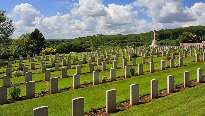
Maroeuil British Cemetery contains 563 Commonwealth burials of the First World War and 11 German war graves. The cemetery was designed by Sir Reginald Blomfield.